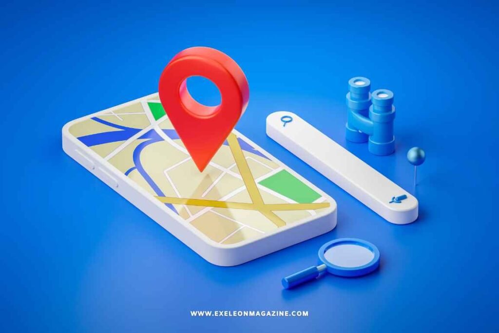
Finding your way inside large buildings can be frustrating. You might struggle to locate a store in a mall, the right gate at an airport, or even an office in a corporate building.
Traditional maps and signs often don’t help enough, especially in complex spaces.
Indoor GPS is transforming that experience. Using advanced technologies like Bluetooth beacons and Wi-Fi positioning systems, smart buildings now offer detailed, step-by-step navigation through indoor wayfinding GPS systems.
This blog will explain how indoor wayfinding works, where it’s used, and why it matters for businesses and visitors alike.
Keep reading to see how this technology makes indoor navigation simpler than ever!
Key Technologies Powering Indoor Wayfinding GPS
Indoor navigation relies on advanced tools to determine locations and guide users effectively. These technologies develop accurate systems that enhance movement within intricate indoor spaces.
Bluetooth Beacons
Bluetooth beacons allow smart buildings to provide accurate step-by-step directions. These small devices send signals that smartphones or indoor navigation apps can detect. By connecting with an indoor positioning system, they help display user locations in real-time.
Businesses apply this technology for precise location tracking and interactive wayfinding design. “Bluetooth beacons are changing how people navigate complex indoor environments.” Retailers, transportation hubs, and healthcare facilities enhance visitor experiences by layering these tools with other indoor mapping solutions.
Wi-Fi Positioning Systems
Wi-Fi positioning systems use existing Wi-Fi networks to determine a user’s location within buildings. Access points measure signal strength and triangulate positions, providing accurate indoor mapping for navigation.
These systems work without extra hardware, as most devices already have Wi-Fi capabilities.
Businesses rely on this indoor navigation technology to guide visitors through large spaces like malls or offices. Smart building infrastructure integrates these systems effortlessly with turn-by-turn directions and other indoor wayfinding features.
Next comes an examination of Ultra-Wideband Technology‘s role in precise tracking solutions.
Ultra-Wideband (UWB) Technology
Unlike Wi-Fi systems that rely on signal strength, UWB technology uses ultra-short radio pulses to achieve precise indoor positioning. These pulses operate at very high frequencies, allowing for accuracy within 10-30 centimeters.
This level of precision makes it ideal for environments where pinpoint tracking is essential.
UWB supports real-time location tracking by measuring the time it takes signals to travel between devices. Smart buildings use this technology in applications like asset tracking, indoor navigation apps, and AR wayfinding tools.
Its ability to avoid interference from walls or other barriers improves functionality in complex indoor environments.
Inertial Navigation Systems
Inertial navigation systems rely on accelerometers and gyroscopes to track movement without external signals. These sensors measure changes in speed, orientation, and direction to calculate a user’s position within an indoor environment.
This technology proves helpful when GPS or Wi-Fi signals are blocked, such as underground spaces or dense building interiors. “Tracking based on inertia fills the void where signal-based methods fail.” Many indoor navigation apps integrate inertial data with other mapping tools for greater accuracy.
Applications of Indoor Wayfinding GPS in Smart Buildings
Indoor Wayfinding GPS helps people navigate complex spaces with ease, offering practical solutions for a variety of industries.
Retail and Shopping Centers
Retailers use indoor wayfinding technology to enhance shopper experiences and drive sales. Smart building navigation helps customers locate stores, restrooms, and dining areas using turn-by-turn directions via indoor navigation apps.
This minimizes confusion in large shopping malls with multiple floors or wings.
Bluetooth beacons and Wi-Fi positioning systems assist users with precise indoor mapping. These tools allow retailers to send location-specific promotions directly to shoppers’ phones, motivating purchases as they explore the space.
Indoor tracking also provides useful data on foot traffic patterns, helping businesses refine store layouts and promotional displays for improved interaction.
Healthcare Facilities
Healthcare facilities use indoor GPS to guide patients and visitors through intricate layouts. Indoor positioning systems provide step-by-step directions, reducing stress and wait times while enhancing patient satisfaction.
For example, hospitals can integrate indoor mapping solutions into apps for easier navigation to departments or rooms.
Indoor wayfinding technology also helps staff locate medical equipment efficiently. Real-time location-based services improve productivity by saving time during emergencies. These features ensure more streamlined operations within the healthcare environment.
Transportation Hubs
Transportation hubs, like airports and train stations, benefit greatly from indoor wayfinding technology. GPS-enabled systems help passengers navigate complex routes with turn-by-turn directions.
These tools reduce confusion in terminals, making travel more efficient for individuals and families.
Smart buildings equipped with indoor mapping solutions also improve operational efficiency. Indoor tracking systems simplify foot traffic management by guiding people to gates or platforms quickly.
Such features ensure smoother movement even during peak hours.
Benefits of Turn-by-Turn Indoor Navigation
Turn-by-turn indoor navigation simplifies movement within intricate buildings. It makes finding your way through expansive spaces clearer and more accurate for users.
Enhanced User Experience
Indoor navigation apps make intricate building layouts easier for users. Indoor mapping tools assist visitors with step-by-step directions, minimizing confusion and stress. AR wayfinding integrates digital instructions into the indoor space, simplifying navigation.
An indoor positioning system also enhances accessibility for people with disabilities. Clear navigation design aids individuals in navigating transportation hubs or healthcare facilities independently.
These indoor tracking systems save time while improving ease in modern buildings.
Improved Operational Efficiency
Smart building navigation systems reduce time spent searching for locations. Employees and visitors can follow step-by-step directions, reaching destinations faster. Indoor tracking systems help businesses monitor foot traffic and improve workflows.
Indoor mapping solutions simplify facility management by providing detailed layouts. Maintenance teams locate equipment efficiently using indoor GPS tracking data. This reduces downtime, improves task coordination, and increases overall productivity in large facilities.
Faster Emergency Responses
Indoor wayfinding technology assists first responders during emergencies. Indoor navigation apps deliver precise turn-by-turn directions, guiding teams quickly through large or complex layouts in advanced buildings.
Real-time indoor tracking systems identify a person’s exact location, saving essential response time.
Indoor GPS tracking reduces confusion by providing accurate indoor mapping solutions. This decreases delays in locating critical areas like fire exits or medical stations. A thoughtfully designed indoor environment improves safety and ensures faster evacuation when required.
Future Trends in Indoor Wayfinding GPS
Technology for indoor navigation is advancing quickly, making systems smarter and more accurate. Enhanced integrations promise better functionality in complex spaces.
Multi-Technology Integration
Combining Bluetooth beacons, Wi-Fi positioning systems, and Ultra-Wideband technology creates a more accurate indoor navigation system. These technologies work together to provide smooth location tracking in smart buildings.
Bluetooth beacons offer proximity detection, while Wi-Fi systems cover larger areas with network signals.
Inertial navigation adds precision in spaces with fluctuating signal strength or no coverage. Smart building infrastructure incorporates these tools into indoor mapping solutions for reliable turn-by-turn directions.
This approach improves the wayfinding design by addressing complex layouts in shopping centers, healthcare facilities, and transportation hubs.
AI-Powered Smarter Navigation
AI enhances indoor navigation by analyzing real-time data from sensors and devices within smart buildings. It anticipates user behavior, adjusts routes based on traffic flow, and provides precise turn-by-turn directions through indoor navigation apps.
Machine learning improves indoor mapping solutions to enhance accuracy in challenging environments like multi-story facilities. AI-driven systems can also connect with AR wayfinding tools to create visual guides for users, increasing clarity within complex spaces.
Conclusion
Indoor wayfinding GPS makes navigating complex buildings simple and efficient. Smart building technology provides clear turn-by-turn directions to indoor spaces, improving convenience for users.
As these systems grow more advanced, they will reshape how people interact with their surroundings. Businesses can use this tech to enhance services and improve operations. The future of indoor navigation promises even greater possibilities for smooth movement indoors.